A short list, big footsteps. These ten didn’t just reach summits. They shifted what the rest of us think is possible up high.
Sir Edmund Hillary & Tenzing Norgay
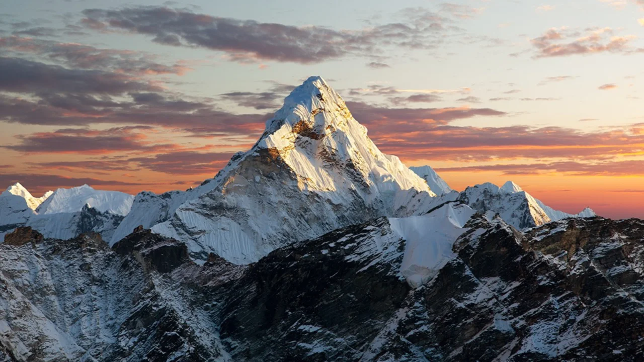
Everest, 1953 — the door opens
May 29, 1953. Two men step onto the highest point on Earth via the South Col. Careful pacing, fixed ropes, oxygen discipline, and quiet trust in each other made it work. The photo shows Tenzing with the ice axe. Hillary took it.
Reinhold Messner
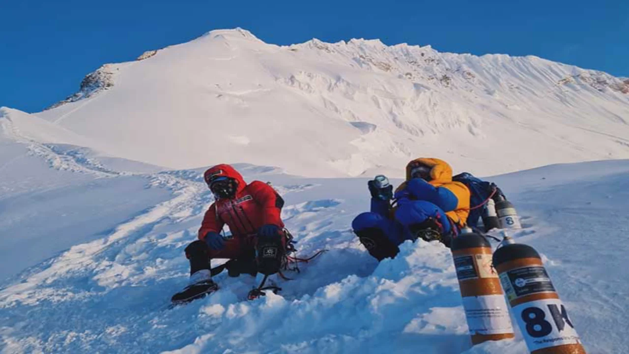
Oxygen-free Everest and the 14×8000 revolution
First Everest without bottled oxygen (with Peter Habeler in 1978). Solo, no-oxygen Everest in 1980. Then every 8,000-meter peak without O2. His style—light, fast, few camps—redefined “how,” not just “what.”
Junko Tabei
First woman on Everest; first woman to complete the Seven Summits
Everest in 1975 with the Ladies’ Climbing Club of Japan, then all continental high points by 1992. Precise, unshowy, relentless. She turned “firsts” into a pattern.
Chris Bonington
The strategist of big Himalayan walls
Led the Annapurna South Face success (1970) and the audacious Everest Southwest Face siege (1975). Later summited Everest at 50. Known for turning complex teams and logistics into a single rhythm.
Reinhard Karl
Summit and story
First German atop Everest in 1978. Also Gasherbrum II in 1979. Photographer, writer, careful observer of fear and motive. Died in an ice avalanche on Cho Oyu in 1982, leaving words that still guide newcomers.
Hermann Buhl
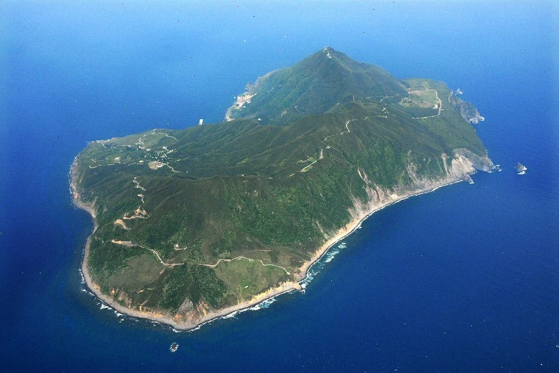
Nanga Parbat, 1953 — alone at the sharp end
A solo, oxygen-free first ascent of the “Killer Mountain.” Long, thin margins. He bivouacked standing near the summit. No other 8,000-meter first ascent was done solo.
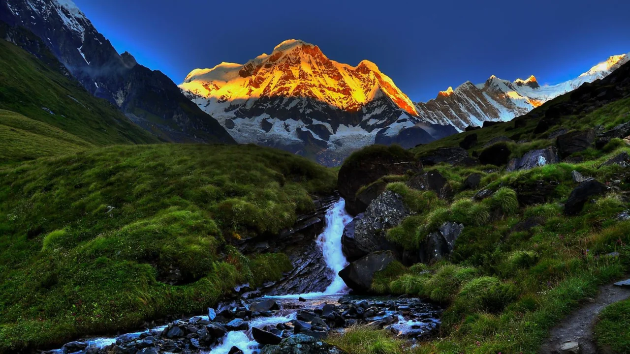
Maurice Herzog
Annapurna I, 1950 — the first 8,000er
A French team reached Annapurna before oxygen, GPS, or good maps. Frostbite took fingers and toes. The climb started the modern Himalayan race and the debates about tactics and cost.
Jerzy Kukuczka
New lines, winter firsts, and the “other” crown
All fourteen 8,000ers by 1987, mostly via fresh routes or in winter conditions. Little budget, big boldness. Killed in 1989 on Lhotse’s South Face, chasing one more hard line.
Wanda Rutkiewicz
First woman on K2, 1986
No supplemental oxygen. Technical, patient, tough. She logged multiple Himalayan summits and aimed higher still. Vanished on Kangchenjunga in 1992, partway through an audacious plan.
Gaston Rébuffat
The north faces and the voice of the craft
First to complete the six great North Faces of the Alps. Guide, filmmaker, teacher. His calm explanations and clean style brought thousands into alpinism the right way.
Why these ten?
They cover firsts, style shifts, and stories that stuck. If you’re new to climbing history, start here, then follow the routes they opened.